
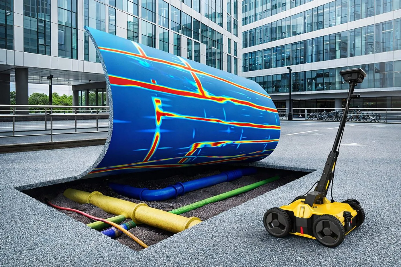
01 · Illustration
On-site markings
Located services marked directly on the ground: paint and labels your crew can work to immediately.
Subsurface & Concrete — 01
A GPR survey (also called utility mapping or an underground utility survey) uses ground-penetrating radar and electromagnetic methods to find and map underground pipes, cables and services, so you can excavate safely and avoid costly strikes.
Dervoss provides utility mapping (GPR) across Dubai, the UAE and Saudi Arabia, captured and produced by one in-house team.
Real Dervoss work
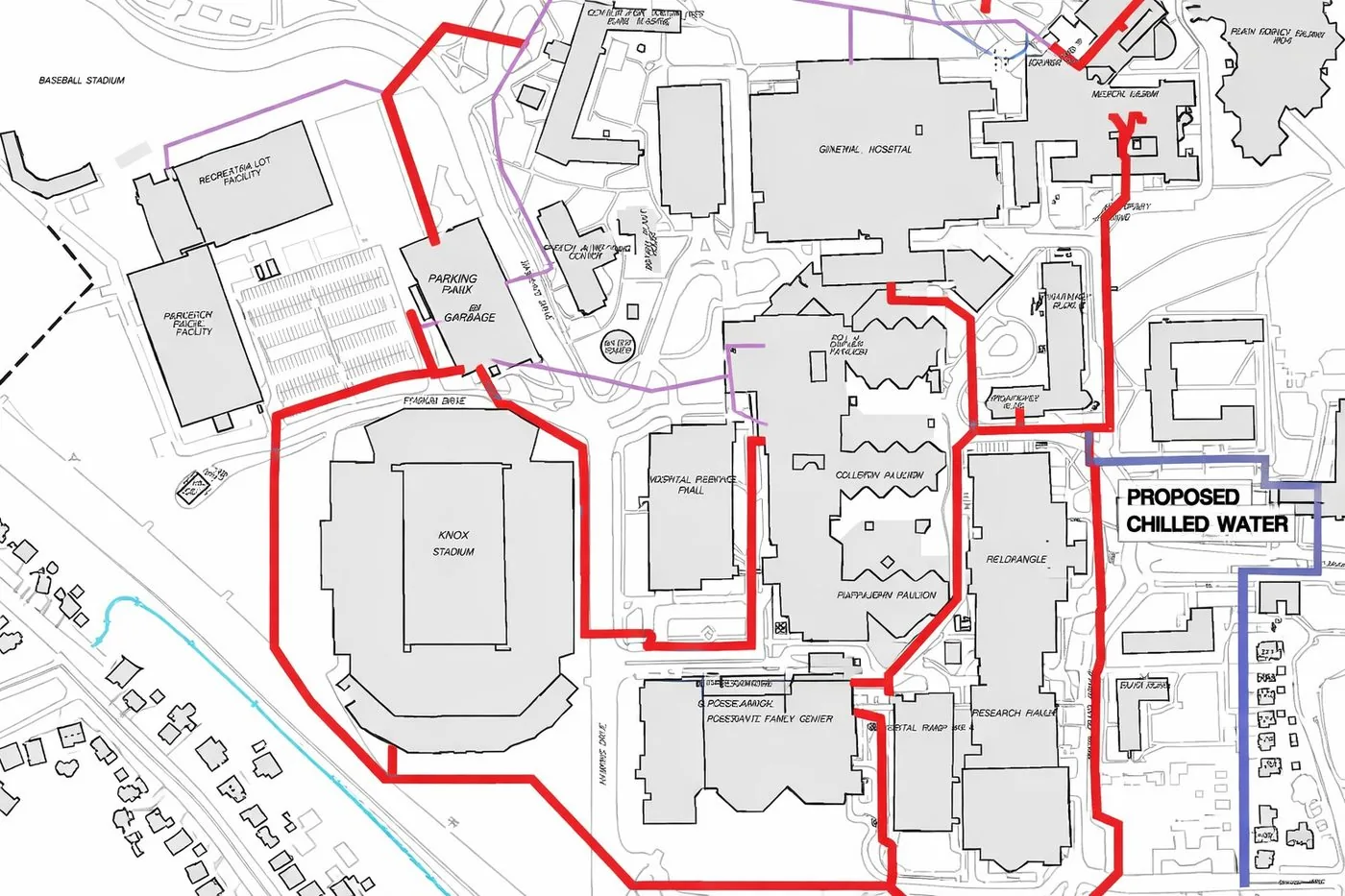
Utility map delivered as DWG
02 — What you receive
4 deliverables
01 · Illustration
Located services marked directly on the ground: paint and labels your crew can work to immediately.
02 · Real Dervoss deliverable
2D utility plan with depths and confidence levels per service, geo-referenced, ready to overlay on your site plan or feed into GIS.
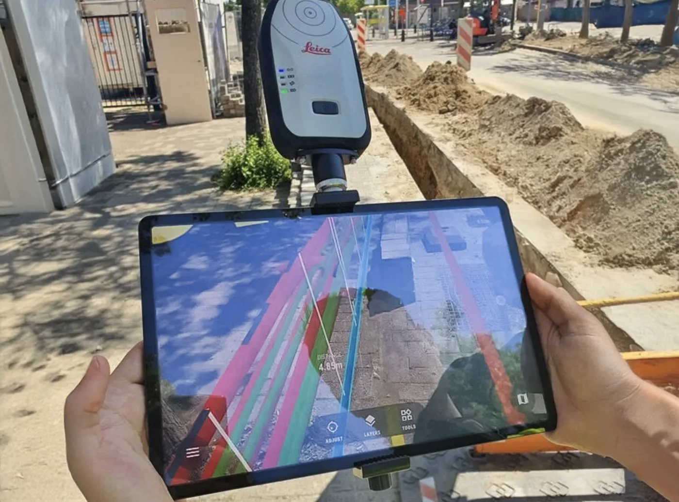
03 · Illustration
Survey method, coverage, findings and limitations documented; evidence you can hand to the main contractor or authority.
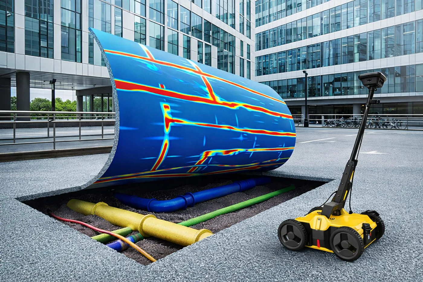
04 · Illustration
Longitudinal and cross-sections of congested corridors, and 3D representation of chambers and pipe networks on request.
Formats
PDFDWG (AutoCAD)GIS-ready on request03 — When you need it
01
Anywhere services could run; one prevented strike pays for the survey many times over.
02
Evidence for the main contractor or authority that the ground is clear.
03
Know what's under the site before the programme depends on it.
04
Route new services around what's already there, before the drawings are frozen.
04 — How it works
Step 01
We survey or scan your site with survey-grade instruments: every surface and dimension captured in a single visit, with minimal disruption.
Step 02
The field data is processed, registered and checked into one accurate dataset, the verified foundation everything else is built on.
Step 03
Our in-house team produces your deliverables (drawings, maps, reports or Revit models), reflecting exactly what is on site.
Step 04
You receive your files in the agreed formats, with an accuracy statement. We stay available for revisions and questions after handover.
05 — In detail
The utility plan pictured above is a real Dervoss deliverable: located services drawn as a geo-referenced DWG with depths and confidence levels, plus the on-site markings that let the excavator start the same day. Utility record drawings in the UAE, where they exist at all, routinely show services in the wrong place or miss them entirely. A survey replaces that uncertainty with measured positions.
GPR reads reflections from anything buried (plastic pipes, ducts, voids, chambers) but loses depth in wet, conductive ground. Electromagnetic locating traces the signal along metallic services and live cables regardless of soil, but can’t see non-metallic pipes. Locating services reliably in UAE conditions (irrigation-soaked verges, district cooling corridors, dense free-zone plots) means running both and reconciling the results. That’s also why our maps state a confidence level per service instead of pretending everything underground is equally certain.
We start from whatever exists (utility record drawings, NOC plans, previous surveys), then sweep the work area on a grid with our Proceq GS9000 GPR (GX2 antenna array) and trace metallic services and live cables electromagnetically. Located services are marked on the ground as we go, colour-coded by type, so the crew can see the picture forming during the survey, not a week later. Depths are logged per detection point. Back at the desk the findings become the geo-referenced DWG utility map and the clearance report, typically within days, faster for urgent clearances.
For most sites, the survey is one visit. For long corridors or phased excavations we survey ahead of the dig front, so clearance never becomes the critical path.
In Dubai, the networks a GPR survey has to find are mostly the same ones: DEWA power cables and water mains, telecom ducts (e& and du), district cooling pipes, drainage and irrigation lines. Most of them run under verges, pavements and access roads, which is exactly where new connections, boundary walls and landscaping get dug. Utility NOCs from the network owners are often a condition of the excavation permit, and a marked and mapped survey is the evidence that goes with them. Dervoss carries out GPR surveys across Dubai, Abu Dhabi, Sharjah and the Northern Emirates, with same-day slots in Dubai when a team is available.
If the site also needs a topographic survey, scope both together. One visit, one control network: the located services are drawn on the same plan as the levels and features, so the designer gets a single coordinated base drawing instead of two surveys that have to be reconciled.
Trenching near roads and buildings, piling and deep foundations, landscaping works over shallow services, and any excavation where the permit or NOC expects clearance: these are the daily cases. A strike costs far more than the survey: repair, delay, claims and the investigation that follows.
Clients ask for a GPR survey, an underground utility survey, utility detection or utility mapping, and in practice they are the same job with different names: find what is buried, mark it on the ground, map it in a drawing. Dervoss provides all of them as one visit. The on-site detection finds and marks the services on site the same day; the survey and mapping deliverables document them as a geo-referenced DWG and PDF with depths. If you are not sure which term your permit or consultant means, send the wording and we will confirm the scope. Typical Dubai clearance: one visit, markings on site immediately, map and report within days.
06 — Why Dervoss for utility mapping (GPR)
One accountable team from site to finished deliverable: the people who survey your site produce your drawings and reports. No hand-offs, no subcontracted drafting, and a fixed quote with a committed delivery date.
01
No hand-off between a scanning company and an offshore drawing shop: the team that measured your site produces your deliverables.
02
Trimble X9 laser scanning and survey-grade instruments, accurate to ±2 mm, with an accuracy statement per delivery.
03
All seven emirates, Saudi Arabia and the wider GCC, with deliverables prepared for local authority requirements.
04
On site within 24 hours of a confirmed LPO; urgent concrete and utility scans often same-day.
07 — Questions
A utility survey locates and maps underground pipes, cables and services before you excavate, using ground-penetrating radar and electromagnetic detection, so digging doesn't become an expensive surprise.
GPR sends radio waves into the ground and reads their reflections. Different materials reflect differently, which reveals pipes, cables, voids and structures, without opening the ground. The full explanation is in our ground penetrating radar guide.
Typically about 2 to 3 metres. Our utility surveys use a Proceq GS9000 with the GX2 antenna array, and that is the investigation depth we work to in typical Dubai ground. The real figure on your site depends on soil moisture, salinity, and the size and material of the service: dry sand allows more, wet, salty or clay-heavy ground less. Greater depths are sometimes reached in good conditions, but we don't promise them. Where conditions demand it, we add electromagnetic detection, which traces metallic services and live cables regardless of soil.
Conductive (wet, clay-rich) soils reduce depth, and heavily congested corridors can mask individual services. That's exactly why we combine GPR with electromagnetic methods and state confidence levels on the map; an honest survey tells you what it couldn't see, too.
Priced per visit plus scan area: site size, access and reporting depth drive it. Send the site details for a fixed quote.
If services could run anywhere in your dig area: yes. Record drawings are often incomplete or out of date, and a strike costs far more than the survey: repairs, delay and claims.
Detection finds and marks services on site so a crew can dig today; mapping documents them as a drawing you can design and plan against. Dervoss does both in one visit: marks on the ground, map in your inbox.
On-site markings your crew can work to, a utility map as DWG/PDF with depths and confidence levels, and a clearance report for the record.
08 — Get a fixed quote
Describe the job in your own words; you don't need to know the right survey name. A fixed price and a committed delivery date, no obligation. Plans or photos? Send them on WhatsApp.
On site
Within 24 h of a confirmed LPO
Office
Al Barsha South 3, Dubai
Hours
Mon-Fri 10:00-18:00