
Services
Drone survey & aerial mapping in the UAE
Drone surveying maps large or hard-to-access sites from the air, producing accurate orthophoto maps, terrain models and volume measurements in a fraction of the time ground methods need.
Dervoss provides these services across Dubai, the UAE and Saudi Arabia, from one in-house team.
Real Dervoss work
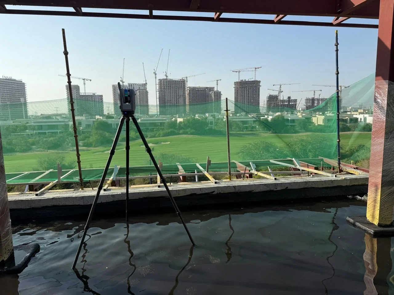
Real Dervoss work · drone & aerial
01 — Choose the service
Choose the service
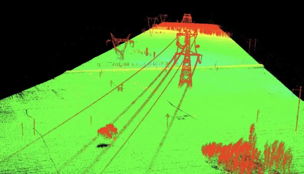
Drone LiDAR & Photogrammetry
Fast aerial mapping of large sites: orthophotos, terrain models and volume reports.
02 — Questions
Which one do I need?
Is it worth getting a drone survey instead of a ground survey?
For large open sites, stockpiles and corridors, yes: days become hours. For small plots or interiors, ground methods win. Full answer on the drone survey page.
Can drone and ground surveys be combined?
Routinely: drone for the wide area, total station or laser scanner where detail and verified control matter: one deliverable set, one accuracy statement.
How large does a site need to be to justify a drone survey?
Rule of thumb: open sites of several hectares, long corridors and stockpile yards, anywhere walking the ground would take days. On small or built-up sites, ground methods are usually cheaper and faster.
Do you have permission to fly in the UAE?
Yes. Flights are carried out by a licensed partner operator, in accordance with applicable UAE aviation regulations; permits are arranged per project.
What do I receive?
Orthophoto map, point cloud, contours/DTM and volume reports, in DWG/PDF and GIS-ready formats.