
01 — The project
The approach
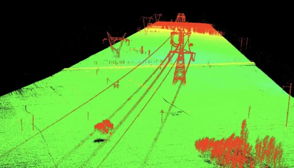
The corridor was captured with drone LiDAR, flown by a licensed partner operator. Dervoss processed the data into terrain and surface models and georeferenced datasets for BIM and GIS.
The outcome
The project team received terrain and surface models for route planning, earthworks and volume calculations, drainage and grading analysis, and as-built records of the corridor.
Client not named · images are Dervoss's own